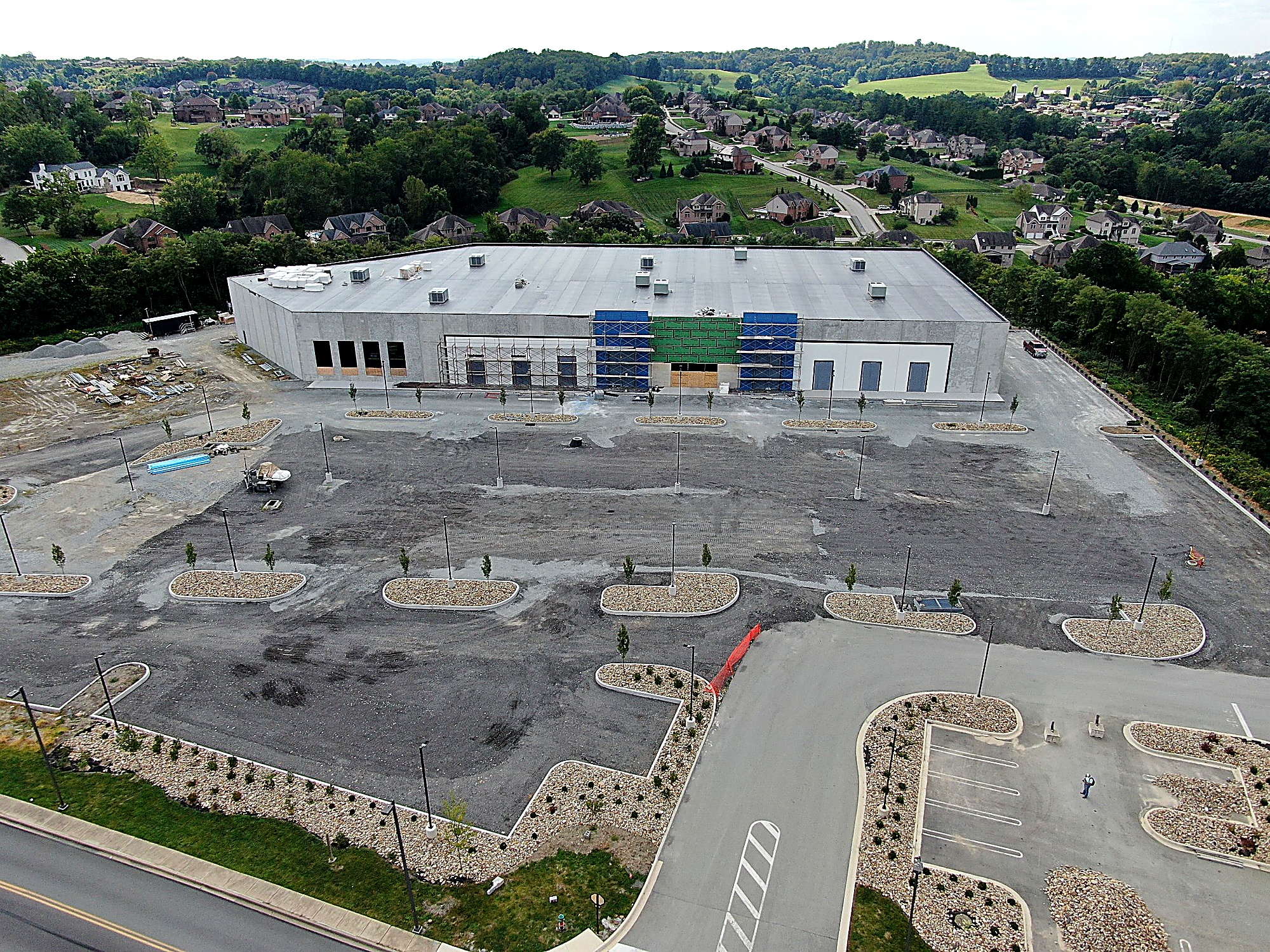
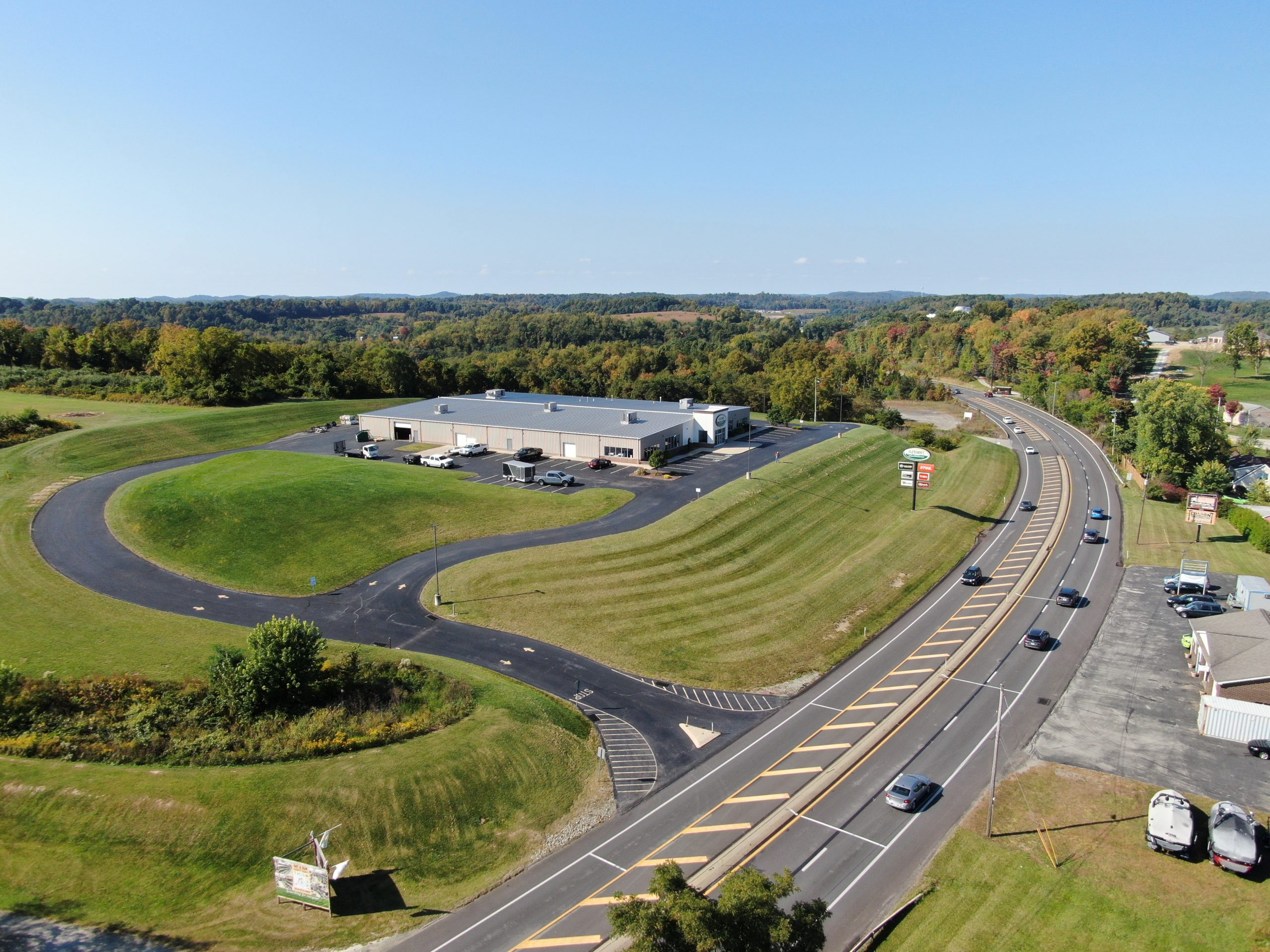
Point Design Group leverages advanced drone (UAV) technology to deliver precise, efficient data collection for a wide range of engineering and surveying applications. Our services include aerial mapping, site analysis, inspections, and high-resolution imagery that enhance project planning and decision-making. By reducing field time and improving safety, UAV solutions provide clients with faster, more accurate insights. This innovative approach allows for cost-effective project execution across industries and environments.